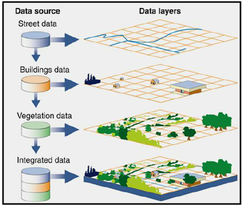
GIS is a way of displaying, analyzing, and storing digital spatial data in layers. It allows for the visualization of patterns and relationships between different types of data.
Learn How to:
1. Create, edit, and present vector and raster spatial data
2. Think spatially and apply spatial concepts to your or your department's workflow

1501 Kincaid Street
Eugene, OR 97403
P: 541-346-3053
F: 541-346-3485